
Lost Pet Recovery
Precision Aerial Pet Search
Pet Recovery is our #1 Priority.
When a pet goes missing, ground searches are often hindered by fences, thick brush, and "blind spots." Field Drone Services LLC provides high-definition aerial surveillance to bridge that gap. We use professional grid-mapping technology to ensure every square inch of a search area is documented and reviewed in high resolution.
Our Specialized Approach
Area Elimination: We help families narrow their search by systematically "clearing" open fields, construction sites, and wooded edges, allowing ground teams to focus their energy elsewhere.
High-Resolution 4K Review
To ensure the best chance of recovery, please have the following information ready and available
Last Known Location: The exact address or GPS coordinates where the pet was last seen.
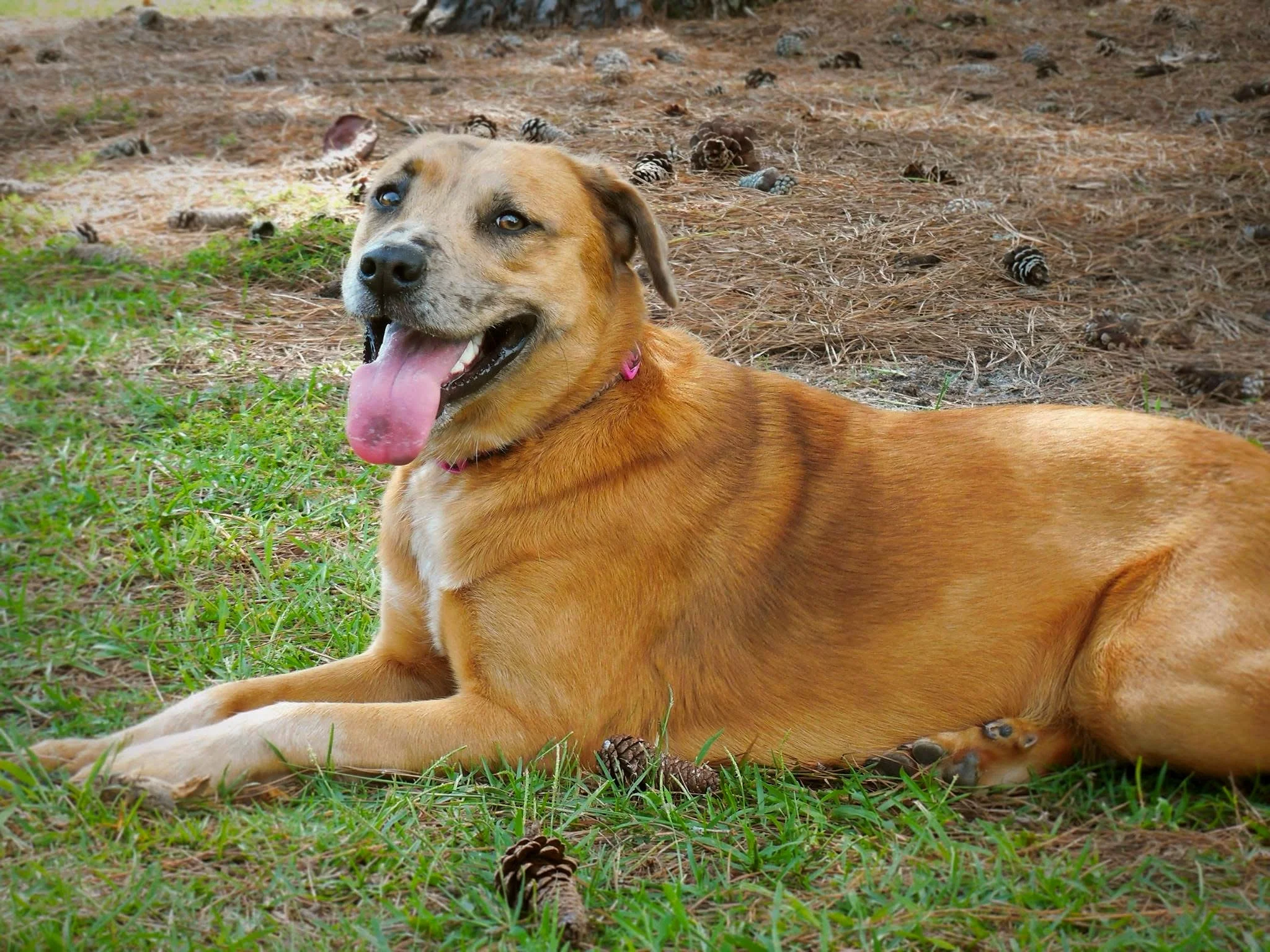
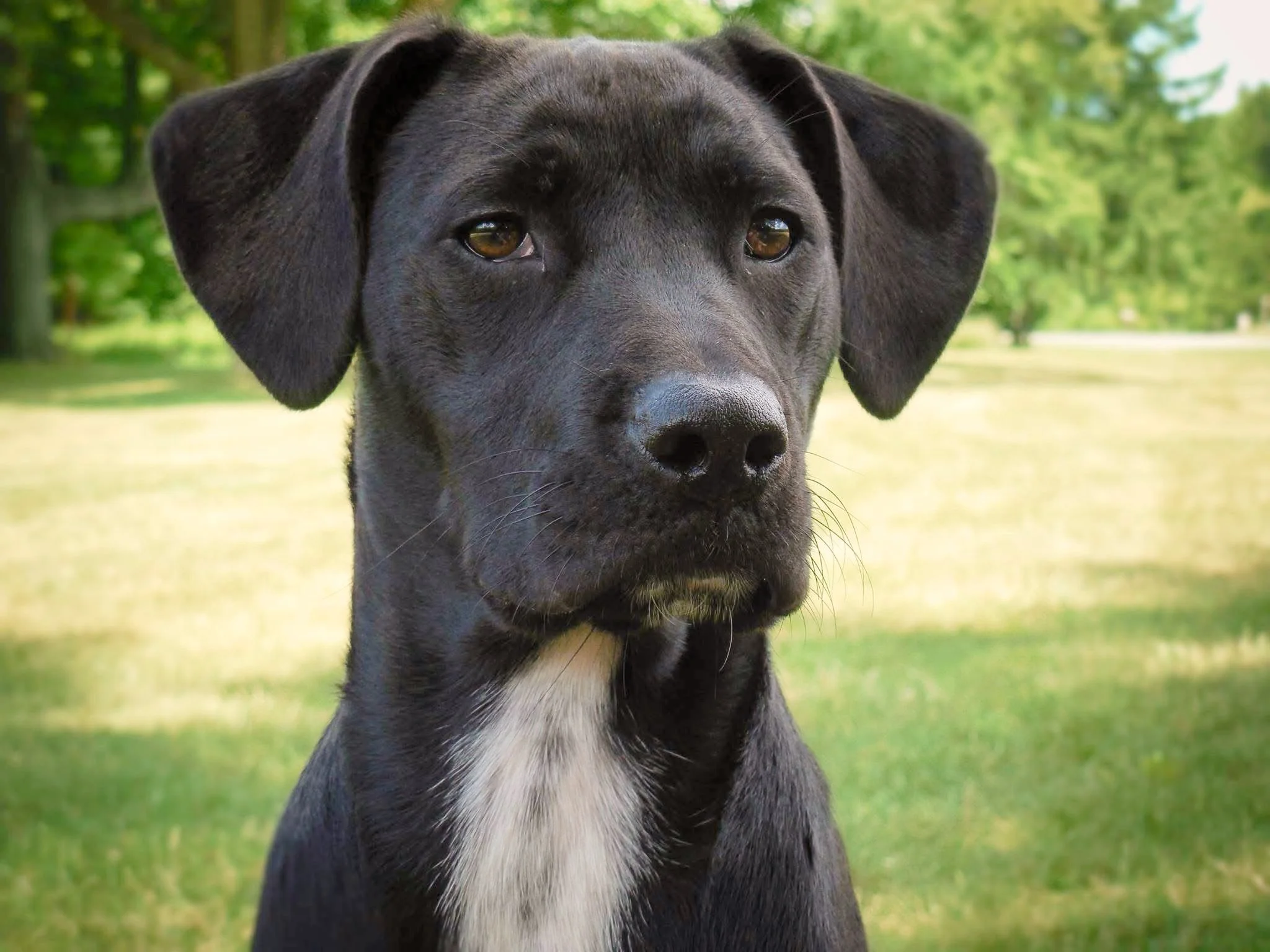
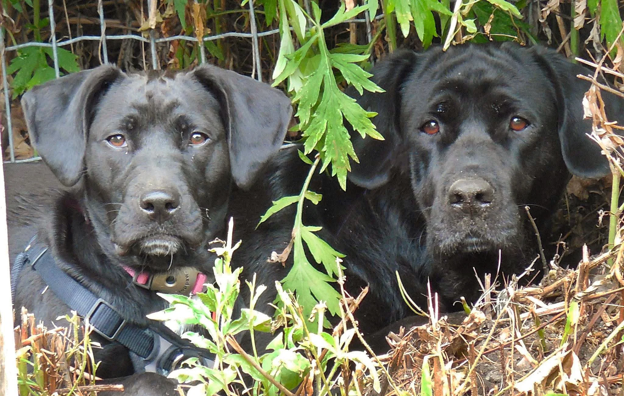
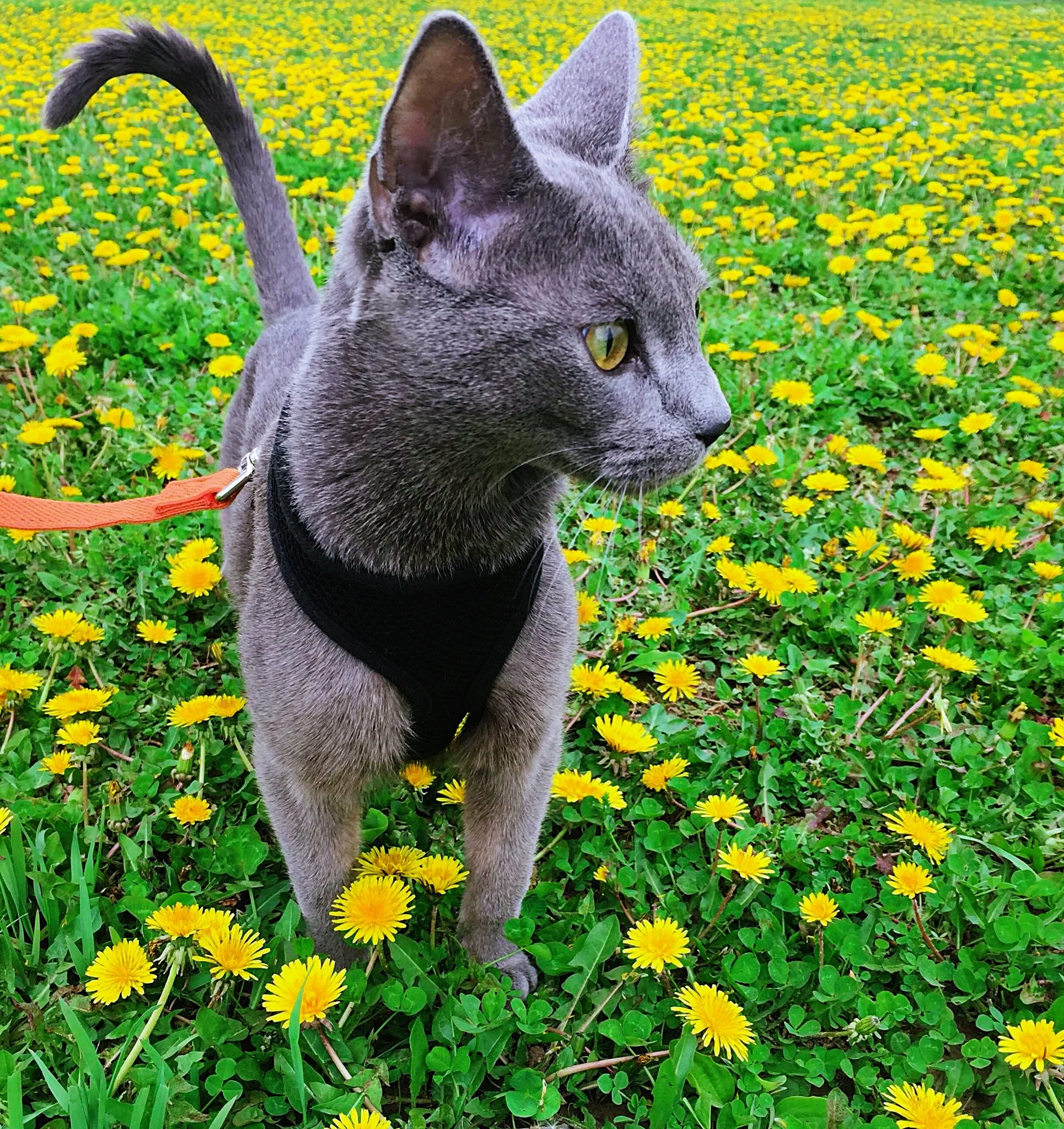
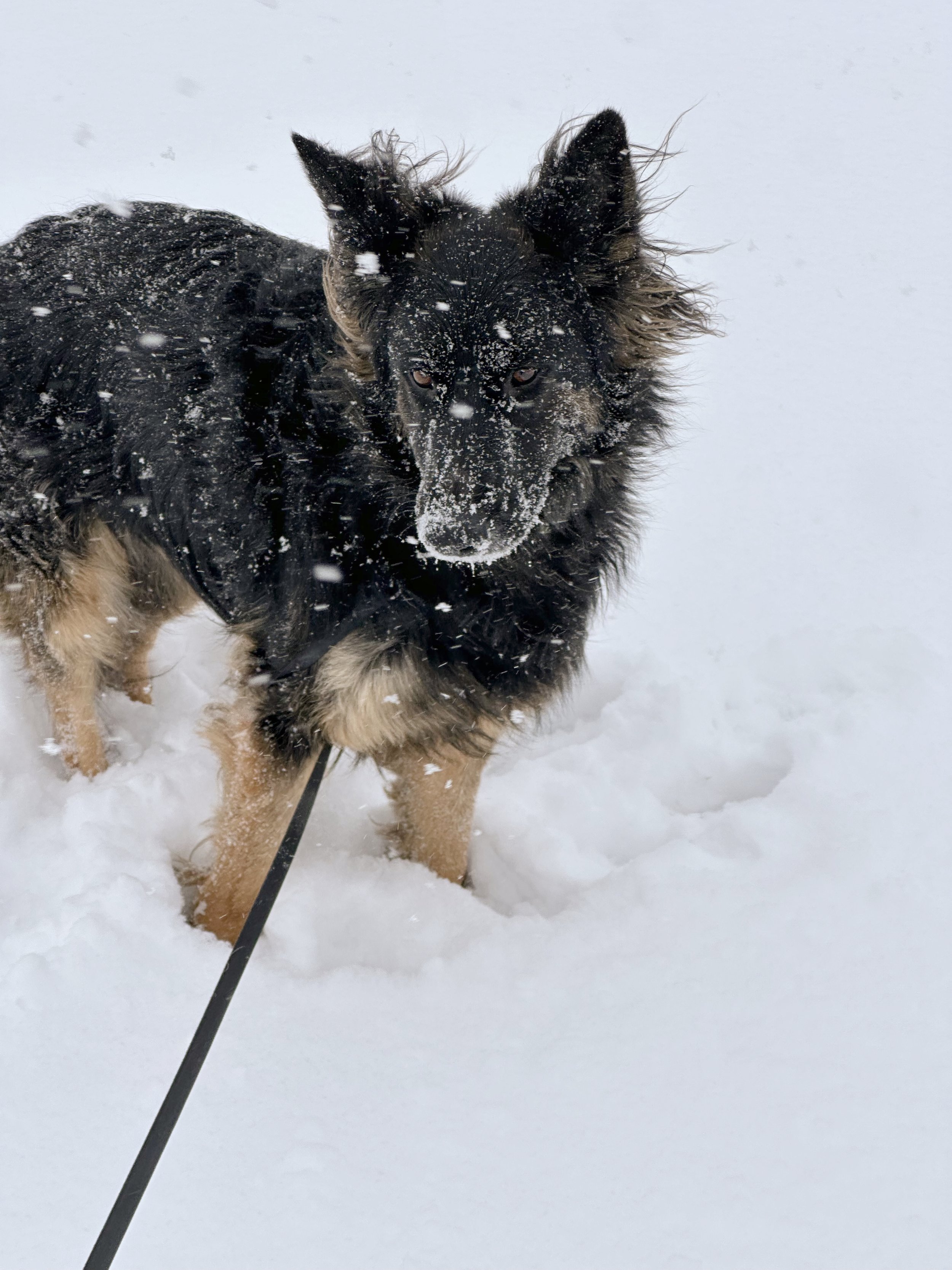
Pet Description: Breed, size, color, and temperament (are they likely to run if approached?).
Recent Photo: Clear images to help identify the animal from the air.
Time Elapsed: How long has the pet been missing?
The Process
Finding a lost family member is a race against time. I provide a dedicated 4-hour search window to help "clear" large areas and difficult terrain.
While our current equipment uses high-resolution visual sensors (non-thermal), the 4K optics allow for a detailed, bird’s-eye view that can spot movement or colors that are invisible from the ground.
Gather Information
We begin with a thorough intake to understand the unique "profile" of your missing pet. This includes their last known location, typical temperament (are they likely to hide or roam?), and any specific landmarks or "blind spots" in the area that you couldn’t search.
Execute Search
During the flight, we deploy high-definition drones to scan the landscape from an optimized overhead perspective. Our systematic approach allows us to "clear" open fields and wooded edges quickly, enabling ground teams to focus their energy on the most likely locations easily searched by foot.
Post- Flight Analysis
If a pet isn’t spotted during the live search, our work continues behind the scenes. We perform a frame-by-frame review of the captured high-resolution images and videos.
For a flat rate of $200, I provide 4 hours of active flight and area mapping. We also analyze the footage after the search if the pet has not been found.
Please call 315-256-3736 immediately to get the search started.